SHT: Day 11
Superior Hiking Trail: Day 11
8/26/2023
Middle Gooseberry Camp - Chapins Ridge Camp
Miles hiked: 13.4 mi
No spur/bonus miles
Elevation gained: 1,358 ft
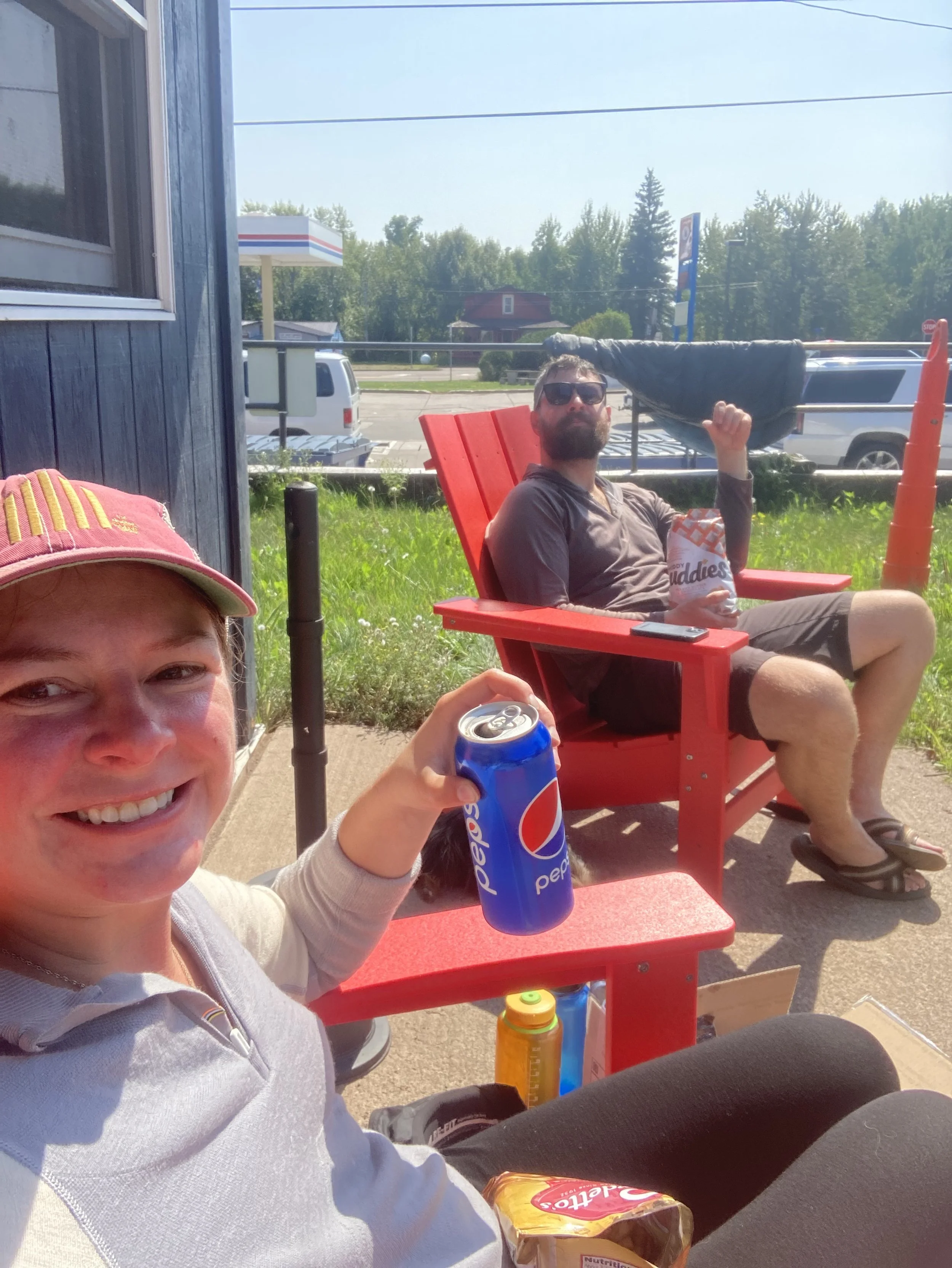
Animals seen: super gross dayhiker

Elevation chart created on AllTrails.com
Alarm and two snoozes later, we were up and breaking down camp. We chatted with Jesse and Nick over breakfast (apple maple pecan oatmeal) but were waving goodbye to them as we hit the trail around 8:30am. We were curious to see the new reroute of the SHT. The old trail descended to Gooseberry Falls State Park before ascending back up to the ridgeline but the new trail continued along the ridgeline instead. Both trails meet back up just before the next campsite on Blueberry Hill.
With the weekend in full swing, we decided to forgo our shower plans at the state park to check out the new trail in the hopes of a quieter, less busy atmosphere. Shortly after leaving camp, we crossed the bridge over Gooseberry River to the brand spanking new trail.
My friends, new trail is where it’s at. It was piled, packed dirt (mostly the typical clay dirt you find up there) but there was a glorious absence of rocks and roots. We flew along that trail. They even threw in a switchback. I know, I was shocked. We had such a good pace that we arrived at Blueberry Hill two hours earlier than expected. So we were either flying or there was less mileage, most likely both.
Blueberry Hill is appropriately named, it was littered with blueberry plants. Unfortunately, the blueberries were over ripe and starting to shrivel. Bummer. We were happy about our pace and hit an overlook named “Breadloaf Overlook” shortly after. Maybe someone was hungry when they were naming this section of trail. Regardless, Breadloaf had some pretty spectacular views.

Dem views with the crappy phone camera
With Gooseberry State Park behind us, we were approaching Split Rock Lighthouse State Park and its correlating section of the SHT. While it is one of the most popular and busy sections of the trail, it’s also a notorious rollercoaster.
Fun fact: for our second backpacking trip ever, Adam, Jake and I did the Split Rock area to Beaver Bay. We ended up with a bonus roadwalk since the bridge over Split Rock River fell about a decade ago and was never replaced. Reaching the site of the old bridge, the water was way too sketchy for our newbie bones so we rerouted instead. Anywho, back to the current hike…
Shale rock and dayhikers increased as we rollercoastered along the southern edge of the Split Rock River. A sign warned of hazardous trail conditions ahead. Well, it was rather typical trail conditions for us at this point.


The hazardous conditions
We took a lunch break at one of the waterfalls in the river. Yes, there are multiple. We changed socks, muled and fueled. And just because we wanted to, we enjoyed the ambiance for a time. We waved to a couple hikers passing by before we decided to get back at it. Kat (& Cinder from the previous day) had informed us that there was a spot on the river that was easy to cross and it was marked with a tree. We kept our eyes peeled and sure enough found our direction tree and crossed the river.

Ford here
It wasn’t even a wet crossing with how low the water was.
We continued on the north side of the river, this time heading back in the direction we came because SHT logic? Anywho, we passed a gross dayhiker urinating into the river. Thank god we didn’t refill water at lunch. Who does that?! Go behind a bush like a normal hiker and preferably not in someone’s water source.
I had been thinking this trail couldn’t get more full of rocks, and boy did it want to prove me wrong. It did, we were traversing a shale field. It was slow and painful going and I had flashbacks of talus fields in kern river valley. The shale field didn’t last forever, even though it felt like it.
Since we (luckily) didn’t filter water at lunch, we were running a bit low. Jake remembered a bridge we had stopped at with Adam in yester-years to filter water not too far ahead. When we arrived it was very overgrown and rather low. Jake had to bushwhack further upstream to get to a decent area to fill our dirty bags. While the water filtered, we rested the feet and snacked.
Full with water again and feet feeling better-ish we were back in business, just in time for Chapins Ridge section. Jake loves this section. And for good reason. The overlooks are picture perfect and the rocks and trees are lichen covered making you feel as if you’ve been transplanted into a fairytale story.
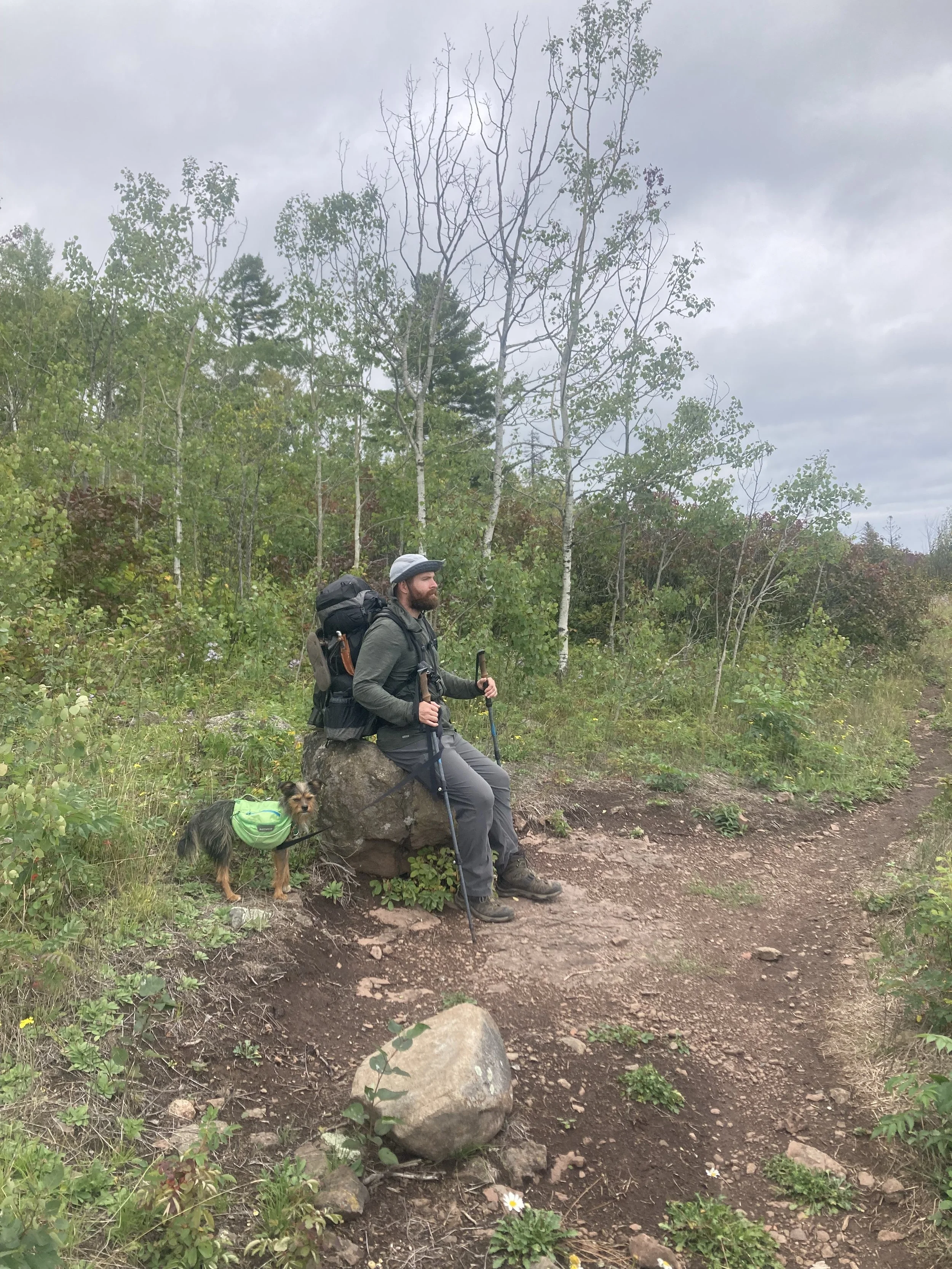
Break in the weeds
A very rough winter caused a lot of blowdowns since the last time we traversed this section of trail. It was an obstacle course climbing over, under and around all of them. We made it to Chapins Ridge Camp around 5:45pm and debated pushing a bit further to the next site or not. Hello again indecision, you haven’t changed a bit.
We stayed. We knew this site (having been the site of the infamous Rumplemintz incident) and the tent pads were solid. We found a corner and I set up while Jake started on dinner and making friends with our neighbor on trail beta since we were going in opposite directions. I didn’t catch his name but he started that morning and was hiking to Duluth where his son lives. Another camper was hammock camping and said a brief hello before tucking in for the night.
The chatty neighbor offered his bear hang line for our bag which was very nice, even if his line was literally in camp. Well, I’ve seen worse, I guess.
See all Superior Hiking Trail posts


Our band of heroes is drying out from the sogginess that was the SHT. They ponder their experience on trail, the people the met, what their hiking future looks like…