Mt. Baldy
Six Pack of Peaks: Mt. Baldy
6/27/22
Loop
Miles Hiked: 9.3 miles
Elevation gain: 3,799 ft
Total elevation: 10,064 ft
Pairs well with: lager on tap at the local dive bar

Elevation map from Alltrails.com
Advisory [noun]: a specific type of warning for hikers and peak baggers that most take into consideration. The dumb ones who don’t heed the warning typically regret their decisions.
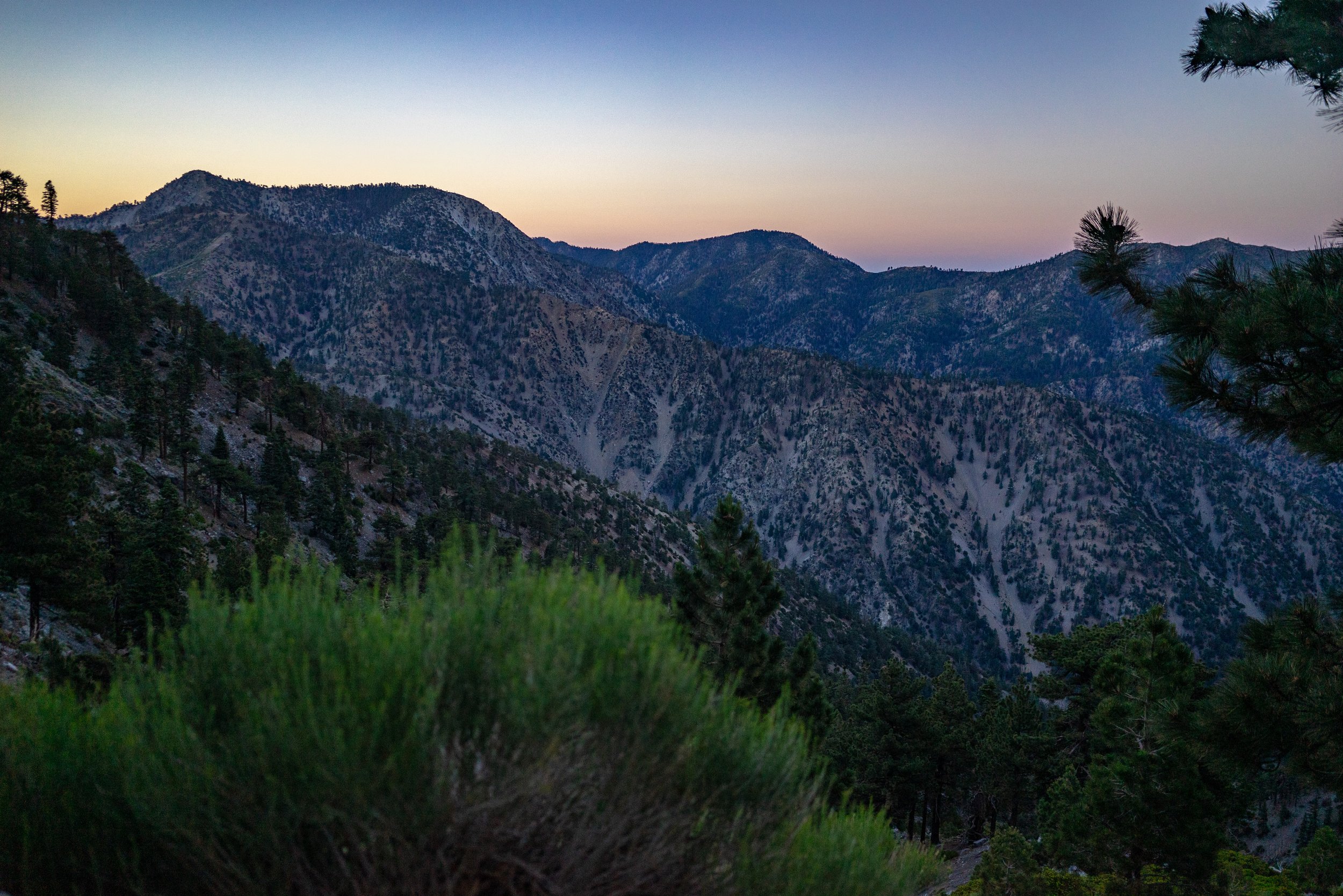
Full disclosure. We attempted Baldy, the highest peak in LA County, a few weeks prior. We attempted the summit via the crazy steep Register Ridge trail to the backbone. That was the first dumb decision. The second was not checking weather conditions and after barely making it to the backbone, only to find ourselves facing a wind advisory. Dumb, dumb, dumb. We were left humbled and with a nagging need to bag this peak once and for all.
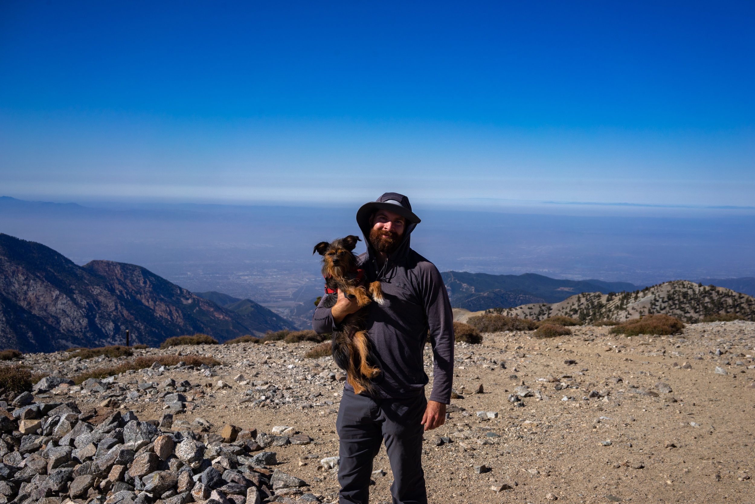
We decided on the “less steep” ascent (read still crazy steep) of the old ski hut trail. I was still wheezing as I made the summit, I blame the altitude and not my lack of fitness. While we didn’t make a sunrise summit, we still made summit coffee and spied other peaks we had previously conquered (Baden Powell, Ontario, Cucamonga, Jacinto) and could see Gorgonio in the distance. Some day, my friend, some day.
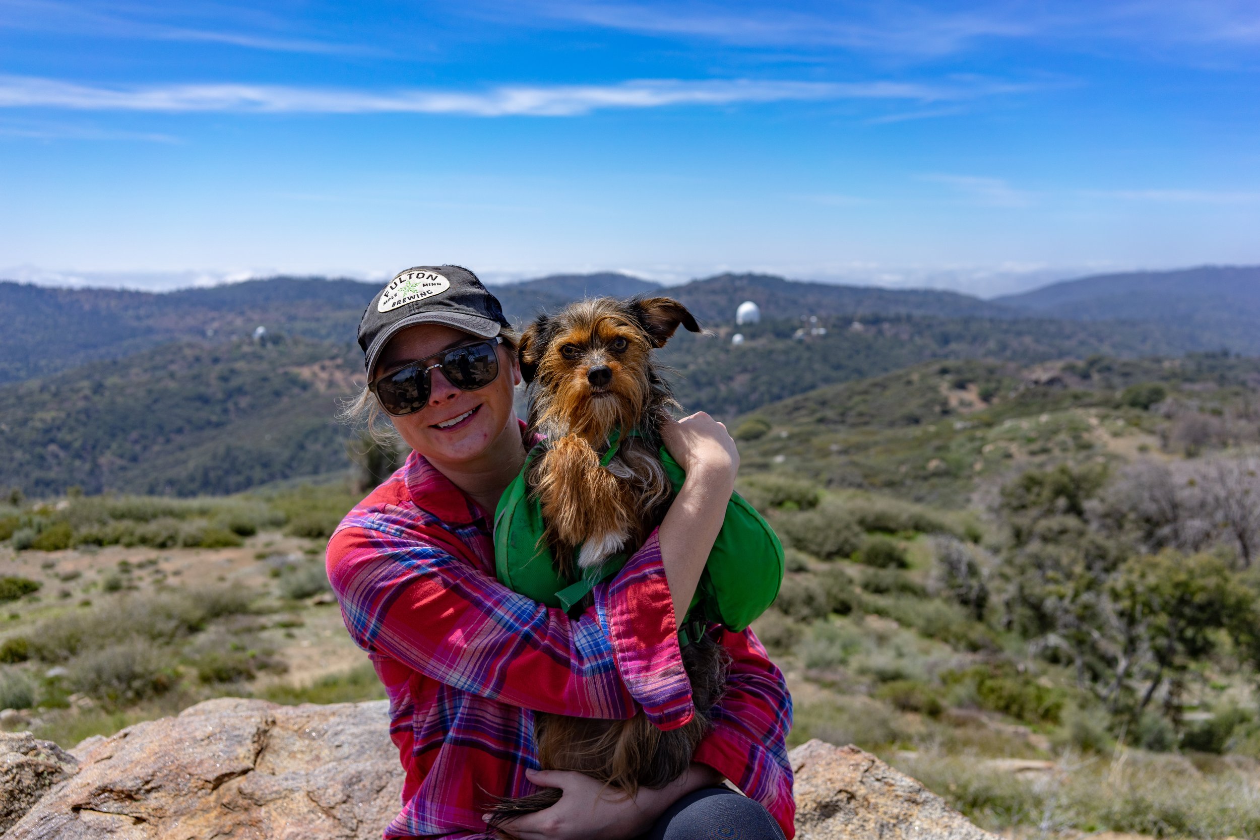
Our descent choice was to follow the devil’s backbone to the ski resort and maybe enjoy a brewski if they were open. The backbone was much better without a wind advisory and terrifyingly beautiful. Jake wanted a bonus mountain on the way, I was outvoted when Leinie wanted to follow him. The views were some of the best we’ve seen in awhile. Alas, the resort was closed when we made it and we still had the maintenance road walk to finish. By the time we reached the car we were hot, tired and full of achievement at finally bagging Baldy.


More Pack of Peak posts


Our tramily packed up the Yellow Submarine for some camping and hiking fun at altitude. Our goal: summit our first Colorado 14er, Mount Sherman.